|
How to use the Kwikplot MP-1 and MP-2 Grid Scales
NOTE:
If you have a MP-1 with the EW grid finder, you may follow the same steps to find both Lat/Long by using only the NS portion
of the plotters grid finder. EW is used for a different chart system, Not for Civilian Sectional Charts.
|
|
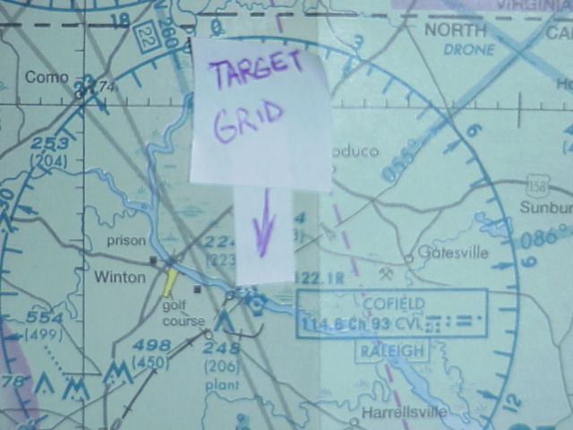
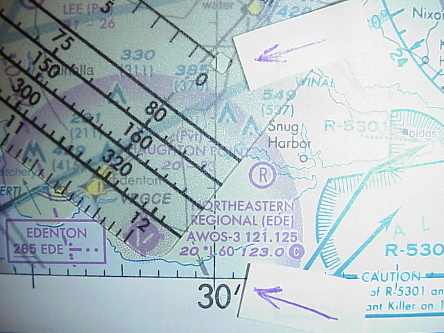
1.To
find your latitude minutes of your target- Select your Target
|
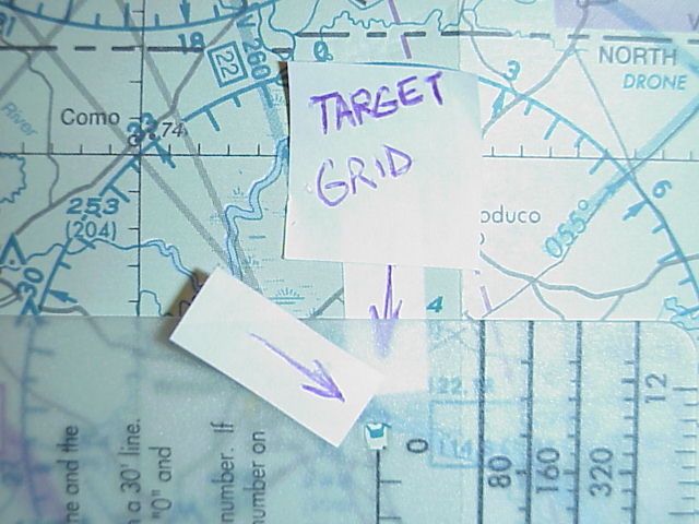
2.Place
the "0" of your scale minute reader directly on the target
|
|
3.Read
the number from the scale where the latitude line insects the scale. If your target is North of a 30' latitude, add 30' to
the scale number. Below the 30' latitude, the direct scale number is actual minutes.
COFIELD VOR = 36 degrees, 22', 00"
N Lat.
|
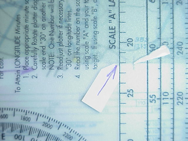
4.To
find the Longitude-Plotter must be turned as depicted.
|
|
5.Slide
plotter scale "0" directly on the closest Longitude line to the right of target.
|
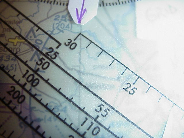
6.While
maintaining the "0" on longitude line to the right of your target- Rotate plotter placing the "30" of scale to the left of
target. Adjust so that your target is directly under the scale reader line.
|
|
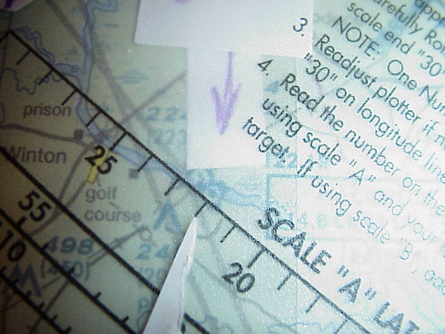
7.Keeping
the "30" on the long. left of target, "0" on right long, read the scale number directly on your target. If your target is
left of a 30' add 30 to the number on the scale. If your target is right of the 30'long. Scale number is your actual minute
number.
COFIELD VOR = 76 degrees,30'+ 22',00" = 76 degrees,52',00" W Longitude.
|